
Kecamatan Bangko Pusako topographic map
Interactive map
Click on the map to display elevation.
About this map
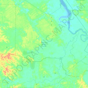
Name: Kecamatan Bangko Pusako topographic map, elevation, terrain.
Location: Kecamatan Bangko Pusako, Rokan Hilir, Riau, Sumatra, Indonesia (1.54972 100.65279 1.94371 100.97264)
Average elevation: 12 m
Minimum elevation: -3 m
Maximum elevation: 56 m