
Cañete topographic map
Interactive map
Click on the map to display elevation.
About this map
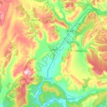
Name: Cañete topographic map, elevation, terrain.
Location: Cañete, Cuenca, Castilla-La Mancha, 16300, España (39.97623 -1.72911 40.09819 -1.58867)
Average elevation: 1,204 m
Minimum elevation: 1,000 m
Maximum elevation: 1,483 m