
Taluka topographic map
Interactive map
Click on the map to display elevation.
About this map
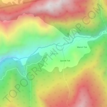
Name: Taluka topographic map, elevation, terrain.
Location: Taluka, Mori, Uttarkashi district, Uttarakhand, Inde (31.05782 78.22579 31.09782 78.26579)
Average elevation: 2,489 m
Minimum elevation: 1,803 m
Maximum elevation: 3,216 m