
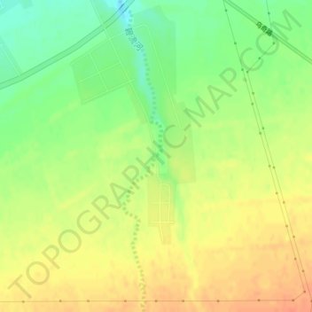
碧流河 topographic map
Interactive map
Click on the map to display elevation.
About this map
Name: 碧流河 topographic map, elevation, terrain.
Location: 碧流河, Qitai, Qitai County, Changji, Xinjiang, China (43.97364 89.62883 43.97376 89.62905)
Average elevation: 823 m
Minimum elevation: 800 m
Maximum elevation: 841 m