
Salto del Penitente topographic map
Interactive map
Click on the map to display elevation.
About this map
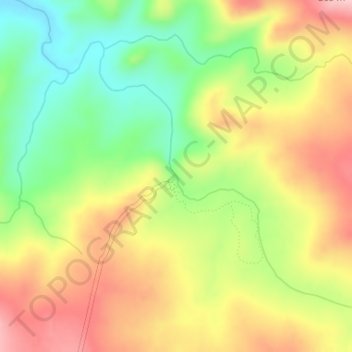
Name: Salto del Penitente topographic map, elevation, terrain.
Location: Salto del Penitente, Lavalleja, Uruguay (-34.37215 -55.05274 -34.37205 -55.05264)
Average elevation: 257 m
Minimum elevation: 169 m
Maximum elevation: 346 m
Other topographic maps
Click on a map to view its topography, its elevation and its terrain.