Geolocate

Rajputwadi topographic map

Click on the map to display elevation.

About this map

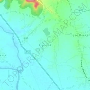
Name: Rajputwadi topographic map, elevation, terrain.

Location: Rajputwadi, Karvir, Kolhapur, Maharashtra, 416229, India (16.72603 74.17127 16.76603 74.21127)

Average elevation: 557 m

Minimum elevation: 537 m

Maximum elevation: 650 m

Other topographic maps

Click on a map to view its topography, its elevation and its terrain.

Panchganga

India > Maharashtra > Karvir > Valivade

Average elevation: 551 m

Gear up for your next adventure:

🥾Hiking Shoes - Durable and comfortable shoes for trail hiking
🧢Sun Hat - Wide-brim hat for sun protection
🧊Insulated Water Bottle - Keeps drinks cold in summer and prevents freezing in winter
🛏️Camping Sleeping Mat - Comfortable mats for sleeping outdoors
🧢Sun Protection Cap - Breathable cap to protect from sun exposure

As an Amazon Associate, this site earns from qualifying purchases at no extra cost to you.