
Sahaspur topographic map
Click on the map to display elevation.
Sahaspur
Sahaspur has an average elevation of 199 metres (653 feet).
About this map
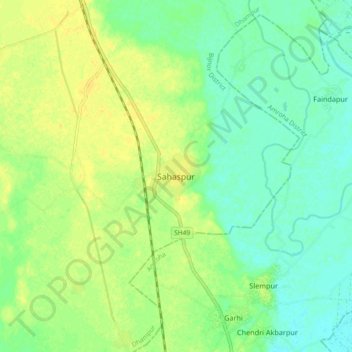
Name: Sahaspur topographic map, elevation, terrain.
Average elevation: 217 m
Minimum elevation: 206 m
Maximum elevation: 227 m