
San Luis topographic map
Interactive map
Click on the map to display elevation.
About this map
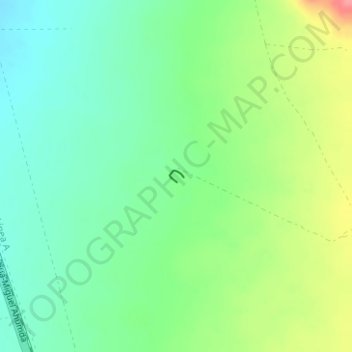
Name: San Luis topographic map, elevation, terrain.
Location: San Luis, Ahumada, Chihuahua, Mexiko (30.34007 -106.49521 30.34096 -106.49395)
Average elevation: 1,308 m
Minimum elevation: 1,279 m
Maximum elevation: 1,361 m
Other topographic maps
Click on a map to view its topography, its elevation and its terrain.
Sierra Madre Occidental
Sierra Madre Occidental, Guadalupe y Calvo, Chihuahua, Mexiko
Average elevation: 2,945 m