
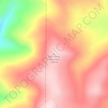
Lost Horse Mountain topographic map
Interactive map
Click on the map to display elevation.
Lost Horse Mountain topographic map, elevation, terrain
About this map
Name: Lost Horse Mountain topographic map, elevation, terrain.
Location: Lost Horse Mountain, Powell County, Montana, United States (46.91405 -113.30123 46.91415 -113.30113)
Average elevation: 1,795 m
Minimum elevation: 1,549 m
Maximum elevation: 1,921 m