
Gering topographic map
Interactive map
Click on the map to display elevation.
About this map
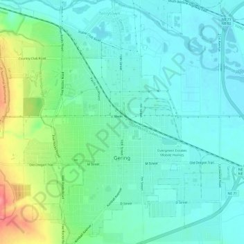
Name: Gering topographic map, elevation, terrain.
Location: Gering, Scotts Bluff County, Nebraska, United States (41.80687 -103.69051 41.85165 -103.63276)
Average elevation: 1,195 m
Minimum elevation: 1,174 m
Maximum elevation: 1,259 m