Geolocate

Sector 80 topographic map

Click on the map to display elevation.

About this map

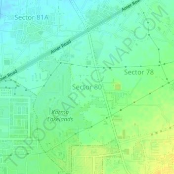
Name: Sector 80 topographic map, elevation, terrain.

Location: Sector 80, Manesar, Gurgaon, Haryana, India (28.36122 76.95680 28.37906 76.96648)

Average elevation: 246 m

Minimum elevation: 237 m

Maximum elevation: 259 m

Other topographic maps

Click on a map to view its topography, its elevation and its terrain.

Badshahpur

India > Haryana > Gurgaon

Average elevation: 228 m

Damdama Lake

India > Haryana > Gurgaon

Average elevation: 242 m

Gear up for your next adventure:

🎒Fully Waterproof Backpack - Total protection for photography gear and electronics
🧴Waterproofing Spray - Restore the DWR coating on jackets and tents
🪑Insulated Seat Pad - Protect your seat from cold rocks and wet logs
🧦Merino Wool Socks - Moisture-wicking comfort for long-distance hiking
🦶Anti-Blister Balm - Prevents friction and hotspots during long ascents

As an Amazon Associate, this site earns from qualifying purchases at no extra cost to you.