Geolocate

Springhill topographic map

Click on the map to display elevation.

About this map

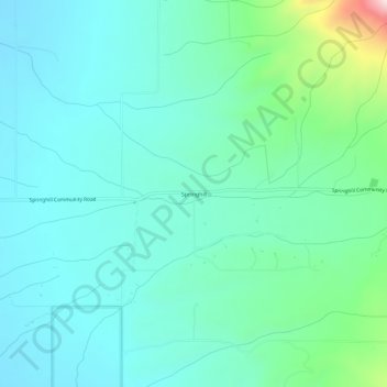
Name: Springhill topographic map, elevation, terrain.

Location: Springhill, Gallatin County, Montana, United States (45.81937 -111.05467 45.85937 -111.01467)

Average elevation: 1,491 m

Minimum elevation: 1,401 m

Maximum elevation: 1,876 m

Gear up for your next adventure:

🧥Insulated Jacket - Keep warm in cold outdoor conditions
🎒Hiking Backpack - Lightweight and ergonomic backpacks for day hikes or multi-day treks
🔭Compact Monocular - One-handed bird watching and trail spotting
🧼Biodegradable Camp Soap - Environmentally friendly cleaning for gear and body
🧰Survival Kit - Essential gear for emergencies in the wilderness

As an Amazon Associate, this site earns from qualifying purchases at no extra cost to you.