Geolocate

Monte Orello topographic map

Click on the map to display elevation.

About this map

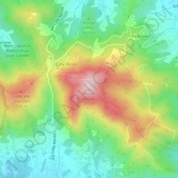
Name: Monte Orello topographic map, elevation, terrain.

Location: Monte Orello, Capoliveri, Livorno, Tuscany, 57037, Italy (42.77878 10.32072 42.77888 10.32082)

Average elevation: 147 m

Minimum elevation: 11 m

Maximum elevation: 365 m

Gear up for your next adventure:

🧥Packable Rain Jacket - Breathable waterproof layer for unpredictable weather
🧤Thermal Hiking Gloves - Grip-enhanced gloves for cold-weather altitude trekking
🥾Hiking Shorts - Breathable shorts suitable for summer hikes
🧭Orienteering Kit - Tools for map reading and navigation in the wild
Family Camping Tent - Spacious tent suitable for family camping trips

As an Amazon Associate, this site earns from qualifying purchases at no extra cost to you.