Geolocate

Howraghat topographic map

Click on the map to display elevation.

About this map

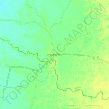
Name: Howraghat topographic map, elevation, terrain.

Location: Howraghat, Phuloni, Karbi Anglong, Assam, 782481, India (26.09263 93.01588 26.13263 93.05588)

Average elevation: 82 m

Minimum elevation: 76 m

Maximum elevation: 87 m

Gear up for your next adventure:

🧢Hiking Sun Hat - Wide-brimmed protection for exposed mountain ridges
🧰Survival Kit - Essential gear for emergencies in the wilderness
🎒Fully Waterproof Backpack - Total protection for photography gear and electronics
🧤Insulated Winter Gloves - Heavy-duty protection for sub-zero Canadian adventures
🧴Sunscreen SPF - Broad-spectrum sunscreen for outdoor activities

As an Amazon Associate, this site earns from qualifying purchases at no extra cost to you.