Geolocate

Sirikot topographic map

Click on the map to display elevation.

About this map

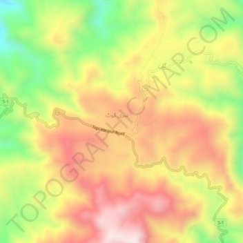
Name: Sirikot topographic map, elevation, terrain.

Location: Sirikot, Khyber Pakhtunkhwa, 22840, Pakistan (34.02144 72.75468 34.06144 72.79468)

Average elevation: 882 m

Minimum elevation: 520 m

Maximum elevation: 1,185 m

Gear up for your next adventure:

🥾Trekking Poles - Adjustable trekking poles to reduce knee stress and improve stability
🕶️Polarized Sunglasses - Reduces glare from snow and water at high elevations
🔭Outdoor Binoculars - Lightweight binoculars for birdwatching and hiking
🧥Waterproof Jacket - Lightweight rain jackets for hiking and outdoor activities
🔦LED Flashlight - Powerful and long-lasting flashlight for camping and emergencies

As an Amazon Associate, this site earns from qualifying purchases at no extra cost to you.