Geolocate

Preston topographic map

Click on the map to display elevation.

About this map
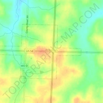
Name: Preston topographic map, elevation, terrain.

Location: Preston, Hickory County, Missouri, United States (37.93378 -93.22606 37.94813 -93.19875)

Average elevation: 311 m

Minimum elevation: 292 m

Maximum elevation: 329 m

Other topographic maps

Click on a map to view its topography, its elevation and its terrain.

Pittsburg

United States > Missouri > Hickory County

Average elevation: 291 m

Gear up for your next adventure:

🥾Trail Hiking Socks - Comfortable socks to prevent blisters and fatigue
🧢Hiking Hat - Sun-protective and breathable hats for long treks
🕶️Polarized Sunglasses - Reduces glare from snow and water at high elevations
🧥Softshell Hiking Jacket - The perfect balance of wind protection and breathability
🧭GPS Handheld Device - Reliable GPS navigation for outdoor adventures

As an Amazon Associate, this site earns from qualifying purchases at no extra cost to you.