Geolocate

Springville topographic map

Click on the map to display elevation.

About this map

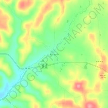
Name: Springville topographic map, elevation, terrain.

Location: Springville, Lawrence County, Indiana, United States (38.91616 -86.63944 38.95616 -86.59944)

Average elevation: 219 m

Minimum elevation: 171 m

Maximum elevation: 278 m

Gear up for your next adventure:

💡Portable Camping Lamp - Rechargeable lamp for campsite lighting
🛏️Camping Sleeping Mat - Comfortable mats for sleeping outdoors
🚲Heavy Duty Bike Lock - Secure your bike at the trailhead or during stops
🧊Portable Cooler - Keep food and drinks cold during outdoor adventures
🧭GPS Outdoor Watch - Smart watch for navigation and fitness tracking in nature

As an Amazon Associate, this site earns from qualifying purchases at no extra cost to you.