Geolocate

Green topographic map

Click on the map to display elevation.

About this map

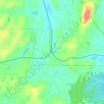
Name: Green topographic map, elevation, terrain.

Location: Green, Floyd County, Georgia, United States (34.06843 -85.16856 34.10843 -85.12856)

Average elevation: 272 m

Minimum elevation: 247 m

Maximum elevation: 324 m

Gear up for your next adventure:

🧊Portable Cooler - Keep food and drinks cold during outdoor adventures
📷Outdoor Action Camera - Capture high-elevation views and rugged adventures
🧭GPS Tracker - Track your location in remote areas safely
🌡️Emergency Mylar Blankets - Compact thermal protection for unexpected nights outdoors
🧴Bear Spray Holster - Quick-access carry for essential Canadian wilderness safety

As an Amazon Associate, this site earns from qualifying purchases at no extra cost to you.