
Khunjerab Pass topographic map
Click on the map to display elevation.
About this map
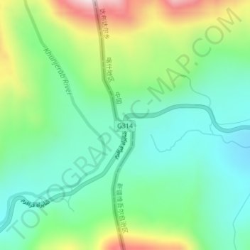
Name: Khunjerab Pass topographic map, elevation, terrain.
Location: Khunjerab Pass, Gilgit-Baltistan, Pakistan (36.85020 75.42838 36.85030 75.42848)
Average elevation: 4,771 m
Minimum elevation: 4,607 m
Maximum elevation: 5,130 m
Other topographic maps
Click on a map to view its topography, its elevation and its terrain.