
Los Andes topographic map
Interactive map
Click on the map to display elevation.
About this map
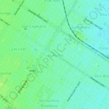
Name: Los Andes topographic map, elevation, terrain.
Average elevation: 20 m
Minimum elevation: 14 m
Maximum elevation: 26 m
Other topographic maps
Click on a map to view its topography, its elevation and its terrain.
Mar del Plata
Argentine > Province de Buenos Aires > Mar del Plata
Mar del Plata, Partido de General Pueyrredón, Province de Buenos Aires, MAR DEL PLATA, Argentine
Average elevation: 20 m