
Make a donation
Gear up for your next adventure:
As an Amazon Associate, this site earns from qualifying purchases at no extra cost to you.
Praça Deodoro topographic map
Click on the map to display elevation.
Make a donation
Gear up for your next adventure:
As an Amazon Associate, this site earns from qualifying purchases at no extra cost to you.
About this map
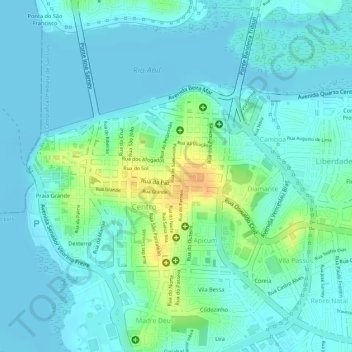
Name: Praça Deodoro topographic map, elevation, terrain.
Average elevation: 9 m
Minimum elevation: -2 m
Maximum elevation: 36 m
Make a donation
Gear up for your next adventure:
As an Amazon Associate, this site earns from qualifying purchases at no extra cost to you.
Other topographic maps
Click on a map to view its topography, its elevation and its terrain.
São Luís
A capital maranhense encontra-se a altitude de quatro metros acima do nível do mar. Existem baixadas alagadas, praias extensas, manguezais e dunas que formam a planície litorânea. A bacia de São Luís é composta por rochas sedimentares com formação na era cenozoica e apresenta vários tipos de minerais,…
Average elevation: 11 m
Make a donation
Gear up for your next adventure:
As an Amazon Associate, this site earns from qualifying purchases at no extra cost to you.