
Thank you for supporting this site ❤️
Make a donation
Make a donation
Gear up for your next adventure:
As an Amazon Associate, this site earns from qualifying purchases at no extra cost to you.
Güllük topographic map
Click on the map to display elevation.
Thank you for supporting this site ❤️
Make a donation
Make a donation
Gear up for your next adventure:
As an Amazon Associate, this site earns from qualifying purchases at no extra cost to you.
About this map
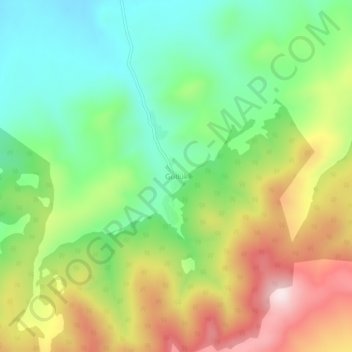
Name: Güllük topographic map, elevation, terrain.
Location: Güllük, Akdağmadeni, Yozgat, Centraal-Anatolië, 66300, Turkije (39.62889 35.71909 39.66889 35.75909)
Average elevation: 1,408 m
Minimum elevation: 1,223 m
Maximum elevation: 1,682 m
Thank you for supporting this site ❤️
Make a donation
Make a donation
Gear up for your next adventure:
As an Amazon Associate, this site earns from qualifying purchases at no extra cost to you.