
Oka topographic map
Interactive map
Click on the map to display elevation.
About this map
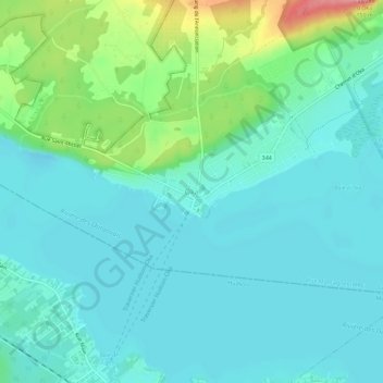
Name: Oka topographic map, elevation, terrain.
Location: Oka, Deux-Montagnes, Laurentides, Quebec, J0N 1E0, Canada (45.44125 -74.11055 45.48125 -74.07055)
Average elevation: 38 m
Minimum elevation: 15 m
Maximum elevation: 120 m