
Rio Negro topographic map
Click on the map to display elevation.
About this map
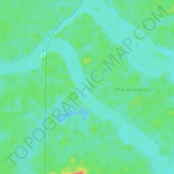
Name: Rio Negro topographic map, elevation, terrain.
Average elevation: 80 m
Minimum elevation: 61 m
Maximum elevation: 153 m
Other topographic maps
Click on a map to view its topography, its elevation and its terrain.
Aldeia Indígena São José de Marabitanas
Brasil > Amazonas > São Gabriel da Cachoeira
Average elevation: 82 m
Maloca Sao Pedro
Brasil > Amazonas > São Gabriel da Cachoeira > Maloca Sao Pedro
Average elevation: 142 m
Comunidade Santo Antonio
Brasil > Amazonas > São Gabriel da Cachoeira > Comunidade Santo Antonio
Average elevation: 85 m