Geolocate

Holyrood topographic map

Click on the map to display elevation.

About this map

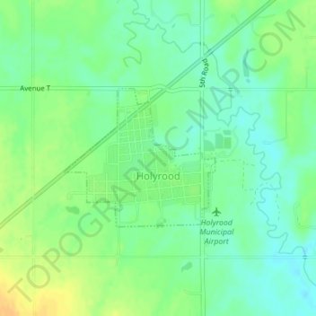
Name: Holyrood topographic map, elevation, terrain.

Location: Holyrood, Ellsworth County, Kansas, United States (38.58257 -98.42151 38.59441 -98.40494)

Average elevation: 552 m

Minimum elevation: 540 m

Maximum elevation: 568 m

Gear up for your next adventure:

🌡️Emergency Mylar Blankets - Compact thermal protection for unexpected nights outdoors
🥫Freeze-Dried Meals - Lightweight, high-calorie nutrition for multi-day treks
🧼Biodegradable Camp Soap - Environmentally friendly cleaning for gear and body
🛏️Camping Sleeping Mat - Comfortable mats for sleeping outdoors
🛁Quick-Dry Microfiber Towel - Space-saving towel that dries rapidly on the move

As an Amazon Associate, this site earns from qualifying purchases at no extra cost to you.