
Byas topographic map
Click on the map to display elevation.
About this map
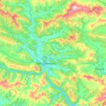
Name: Byas topographic map, elevation, terrain.
Location: Byas, Tanahun, Gandaki Pradesh, Nepal (27.87739 84.17343 28.12392 84.36732)
Average elevation: 664 m
Minimum elevation: 266 m
Maximum elevation: 1,623 m