
溶江镇 topographic map
Interactive map
Click on the map to display elevation.
About this map
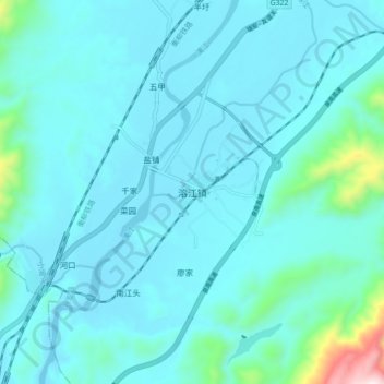
Name: 溶江镇 topographic map, elevation, terrain.
Location: 溶江镇, 兴安县, 桂林市, 广西壮族自治区, 中国 (25.52402 110.43283 25.60402 110.51283)
Average elevation: 260 m
Minimum elevation: 176 m
Maximum elevation: 986 m