Geolocate

Mount Elliot topographic map

Click on the map to display elevation.

About this map

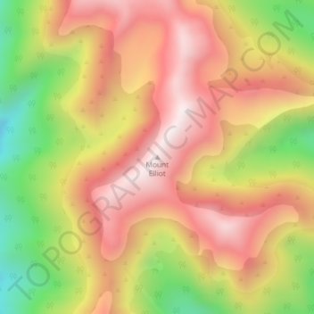
Name: Mount Elliot topographic map, elevation, terrain.

Location: Mount Elliot, Grey District, West Coast, New Zealand (-42.49641 171.84189 -42.49631 171.84199)

Average elevation: 1,025 m

Minimum elevation: 575 m

Maximum elevation: 1,356 m

Other topographic maps

Click on a map to view its topography, its elevation and its terrain.

Arnold River

New Zealand > West Coast > Grey District > Moana

Average elevation: 153 m

Lake Haupiri

New Zealand > West Coast > Grey District

Average elevation: 223 m

Lake Avernus

New Zealand > West Coast > Grey District

Average elevation: 1,335 m

Gear up for your next adventure:

🔪Outdoor Multitool - Versatile tool for repairs and food prep in the wild
🧰Emergency Multi-Tool - Compact multi-tool for outdoor survival
🧢Hiking Hat - Sun-protective and breathable hats for long treks
🧢Sun Protection Cap - Breathable cap to protect from sun exposure
🔥Emergency Fire Starter - Reliable ignition source for all weather conditions

As an Amazon Associate, this site earns from qualifying purchases at no extra cost to you.