Geolocate

Kiwara topographic map

Click on the map to display elevation.

About this map

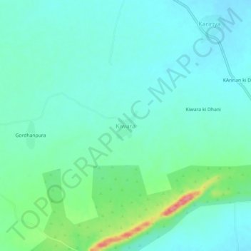
Name: Kiwara topographic map, elevation, terrain.

Location: Kiwara, Niwai Tehsil, Tonk, Rajasthan, India (26.30004 76.04007 26.34004 76.08007)

Average elevation: 292 m

Minimum elevation: 272 m

Maximum elevation: 363 m

Gear up for your next adventure:

🧴Waterproofing Spray - Restore the DWR coating on jackets and tents
🛰️Satellite Messenger - Emergency communication for areas with no cell service
🥾Light Trekking Boots - Supportive boots for multi-day treks
🧦Outdoor Socks - Durable socks designed for hiking and outdoor sports
🥾Trail Hiking Shoes - Durable shoes designed for rugged trails

As an Amazon Associate, this site earns from qualifying purchases at no extra cost to you.