
Radnevo topographic map
Interactive map
Click on the map to display elevation.
About this map
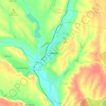
Name: Radnevo topographic map, elevation, terrain.
Location: Radnevo, Stara Zagora, 6260, Bulgaria (42.24905 25.89387 42.32905 25.97387)
Average elevation: 128 m
Minimum elevation: 102 m
Maximum elevation: 153 m