Geolocate

Kadugede topographic map

Click on the map to display elevation.

About this map

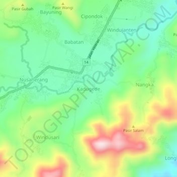
Name: Kadugede topographic map, elevation, terrain.

Location: Kadugede, Kuningan, West Java, Java, 45511, Indonesia (-7.02819 108.43642 -6.98819 108.47642)

Average elevation: 574 m

Minimum elevation: 425 m

Maximum elevation: 841 m

Other topographic maps

Click on a map to view its topography, its elevation and its terrain.

Gear up for your next adventure:

🥾Hiking Boots - Sturdy boots providing ankle support and traction on rugged trails
💡Portable Camping Lamp - Rechargeable lamp for campsite lighting
🥾Hiking Gaiters - Protect legs and shoes from mud, snow, and debris
🥾Durable Hiking Shoes - Long-lasting shoes for frequent hiking
🦶Hiking Shoe Insoles - Added support for high arches and long days on feet

As an Amazon Associate, this site earns from qualifying purchases at no extra cost to you.