Geolocate

Biestro topographic map

Click on the map to display elevation.

About this map

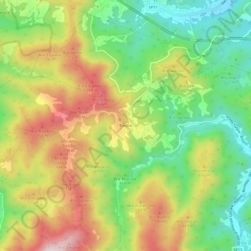
Name: Biestro topographic map, elevation, terrain.

Location: Biestro, Pallare, Savona, Liguria, 17043, Italy (44.31233 8.22372 44.35233 8.26372)

Average elevation: 581 m

Minimum elevation: 383 m

Maximum elevation: 829 m

Gear up for your next adventure:

🌡️Emergency Mylar Blankets - Compact thermal protection for unexpected nights outdoors
🥾Trail Hiking Shoes - Durable shoes designed for rugged trails
🥾Trail Running Boots - Durable shoes designed for trail running
🥾All-Terrain Hiking Boots - Versatile boots for varied hiking conditions
🥾Mountaineering Boots - Supportive boots for climbing and high-altitude hiking

As an Amazon Associate, this site earns from qualifying purchases at no extra cost to you.