
Fountain County topographic map
Interactive map
Click on the map to display elevation.
About this map
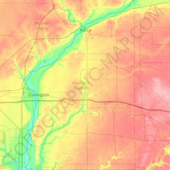
Name: Fountain County topographic map, elevation, terrain.
Location: Fountain County, Indiana, États-Unis (39.95377 -87.44019 40.36639 -87.09092)
Average elevation: 206 m
Minimum elevation: 144 m
Maximum elevation: 266 m
Other topographic maps
Click on a map to view its topography, its elevation and its terrain.