
Potes topographic map
Interactive map
Click on the map to display elevation.
About this map
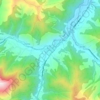
Name: Potes topographic map, elevation, terrain.
Location: Potes, Liébana, Cantabrië, 39570, Spanje (43.13368 -4.64343 43.17368 -4.60343)
Average elevation: 487 m
Minimum elevation: 253 m
Maximum elevation: 1,044 m