
La Leona topographic map
Interactive map
Click on the map to display elevation.
About this map
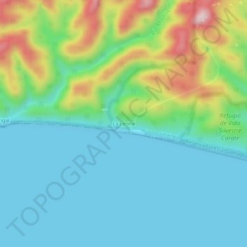
Name: La Leona topographic map, elevation, terrain.
Location: La Leona, Puerto Jiménez, Cantón Golfito, 60702, Costa Rica (8.42859 -83.50560 8.46859 -83.46560)
Average elevation: 103 m
Minimum elevation: 0 m
Maximum elevation: 394 m