Geolocate

Tolantongo topographic map

Click on the map to display elevation.

About this map

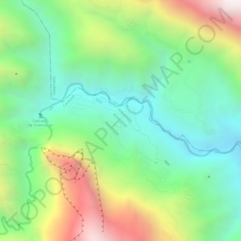
Name: Tolantongo topographic map, elevation, terrain.

Location: Tolantongo, Cardonal, Hidalgo, Mexico (20.64261 -99.00821 20.65532 -98.98532)

Average elevation: 1,528 m

Minimum elevation: 1,167 m

Maximum elevation: 2,107 m

Gear up for your next adventure:

📷Outdoor Action Camera - Capture high-elevation views and rugged adventures
❄️Traction Ice Cleats - Slip-on spikes for icy trails and winter hiking
🏃Hydration Running Vest - Carry water and maps close to your body for speed
🥾Waterproof Trail Shoes - Shoes designed to handle wet terrain
🧥Insulated Jacket - Keep warm in cold outdoor conditions

As an Amazon Associate, this site earns from qualifying purchases at no extra cost to you.