Geolocate

Cempaka topographic map

Click on the map to display elevation.

About this map

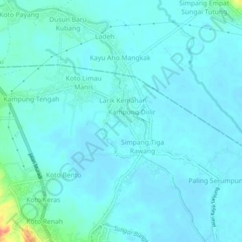
Name: Cempaka topographic map, elevation, terrain.

Location: Cempaka, Sungai Penuh, Hamparan Rawang, Jambi, Sumatra, 37111, Indonesia (-2.05828 101.38369 -2.01828 101.42369)

Average elevation: 792 m

Minimum elevation: 784 m

Maximum elevation: 845 m

Other topographic maps

Click on a map to view its topography, its elevation and its terrain.

Gear up for your next adventure:

🧢Outdoor Cap - Protective cap for sun and rain during hikes
🔥Emergency Fire Starter - Reliable ignition source for all weather conditions
🥾Hiking Boots - Sturdy boots providing ankle support and traction on rugged trails
🦌Outdoor Trail Camera - Monitor wildlife activity near your favorite spots
💡LED Camping Lantern - Illuminate your campsite with long-lasting lanterns

As an Amazon Associate, this site earns from qualifying purchases at no extra cost to you.