Geolocate

La Colorada topographic map

Click on the map to display elevation.

About this map

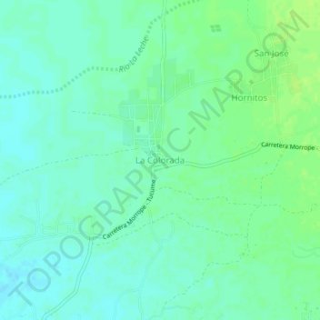
Name: La Colorada topographic map, elevation, terrain.

Location: La Colorada, Mórrope, Lambayeque, Perú (-6.51244 -80.01712 -6.47244 -79.97712)

Average elevation: 26 m

Minimum elevation: 20 m

Maximum elevation: 32 m

Other topographic maps

Click on a map to view its topography, its elevation and its terrain.

Rio La Leche

Perú > Lambayeque > Mórrope

Average elevation: 1 m

Gear up for your next adventure:

🧢Sun Protection Cap - Breathable cap to protect from sun exposure
🛶Waterproof Dry Bags - Keep electronics and clothes dry during river crossings
🧢Hiking Hat - Sun-protective and breathable hats for long treks
🧴Outdoor Sunscreen - High SPF protection for high-altitude UV exposure
🥾Waterproof Hiking Boots - Essential footwear for rugged terrain and wet Canadian trails

As an Amazon Associate, this site earns from qualifying purchases at no extra cost to you.