Geolocate

Chloe topographic map

Click on the map to display elevation.

About this map

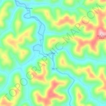
Name: Chloe topographic map, elevation, terrain.

Location: Chloe, Calhoun County, West Virginia, 25235, United States (38.67259 -81.10650 38.71259 -81.06650)

Average elevation: 314 m

Minimum elevation: 230 m

Maximum elevation: 459 m

Other topographic maps

Click on a map to view its topography, its elevation and its terrain.

Gear up for your next adventure:

🥾Waterproof Trail Shoes - Shoes designed to handle wet terrain
🥾Waterproof Hiking Shoes - Durable shoes for wet and rugged trails
🔪Outdoor Multitool - Versatile tool for repairs and food prep in the wild
🥾Mountain Trail Shoes - High-traction shoes for mountain trails
Camping Essentials - All-in-one gear for a comfortable camping trip

As an Amazon Associate, this site earns from qualifying purchases at no extra cost to you.