Geolocate

Adam topographic map

Click on the map to display elevation.

About this map

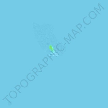
Name: Adam topographic map, elevation, terrain.

Location: Adam, South Nias, North Sumatra, Sumatra, Indonesia (-0.04271 98.43189 -0.00271 98.47189)

Average elevation: 0 m

Minimum elevation: 0 m

Maximum elevation: 9 m

Gear up for your next adventure:

🦶Anti-Blister Balm - Prevents friction and hotspots during long ascents
🧦Hiking Liner Socks - Thin base layer to prevent friction and blisters
🧊Portable Cooler - Keep food and drinks cold during outdoor adventures
🧦Merino Wool Socks - Moisture-wicking comfort for long-distance hiking
🥾All-Terrain Hiking Boots - Versatile boots for varied hiking conditions

As an Amazon Associate, this site earns from qualifying purchases at no extra cost to you.