
Lac Rond topographic map
Interactive map
Click on the map to display elevation.
About this map
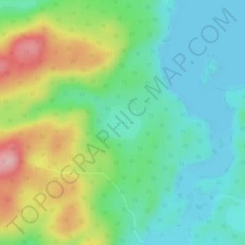
Name: Lac Rond topographic map, elevation, terrain.
Average elevation: 571 m
Minimum elevation: 519 m
Maximum elevation: 677 m
Other topographic maps
Click on a map to view its topography, its elevation and its terrain.
Lac des Îles
Canada > Quebec > Passes-Dangereuses
Lac des Îles, Passes-Dangereuses, Maria-Chapdelaine, Saguenay–Lac-Saint-Jean, Quebec, Canada
Average elevation: 371 m