
Jeffreys topographic map
Interactive map
Click on the map to display elevation.
About this map
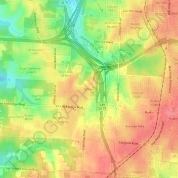
Name: Jeffreys topographic map, elevation, terrain.
Location: Jeffreys, Jackson County, Missouri, 64137, United States (38.90806 -94.55134 38.94806 -94.51134)
Average elevation: 296 m
Minimum elevation: 255 m
Maximum elevation: 323 m