

Colima City topographic map
Click on the map to display elevation.
Colima City
Most of the municipality is located in the Valley of Colima. About half of the municipality has rugged, mountainous terrain, most of which is on the south and southeastern sides but with an average altitude of only 550 masl. These areas are part of the areas belonging to the Colima Volcano and a set of mountains called the Cordillera Costera del Sur, which is part of the Sierra Madre del Sur, especially that of the north and northwest to the Cerro de los Gallos mesa. These mountains separate the area from the ocean.
About this map
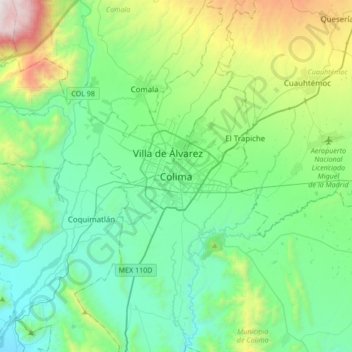
Name: Colima City topographic map, elevation, terrain.
Location: Colima City, Municipio de Colima, Colima, 28000, Mexico (19.08340 -103.88807 19.40340 -103.56807)
Average elevation: 649 m
Minimum elevation: 162 m
Maximum elevation: 2,337 m