Geolocate

Windcrest topographic map

Interactive map

Click on the map to display elevation.

About this map

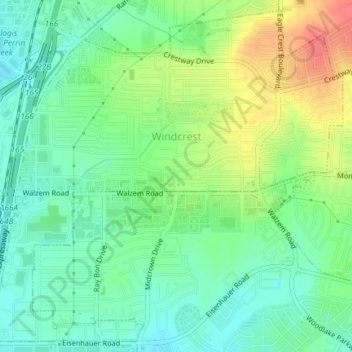
Name: Windcrest topographic map, elevation, terrain.

Location: Windcrest, Bexar County, Texas, United States (29.49665 -98.39982 29.52704 -98.36278)

Average elevation: 240 m

Minimum elevation: 219 m

Maximum elevation: 275 m

Other topographic maps

Click on a map to view its topography, its elevation and its terrain.

Leon Valley

United States > Texas > Bexar County

Leon Valley, Bexar County, Texas, United States

Average elevation: 260 m

Live Oak

United States > Texas > Bexar County

Live Oak, Bexar County, Texas, United States

Average elevation: 262 m

San Antonio

United States > Texas > Bexar County

San Antonio, Bexar County, Texas, United States

Average elevation: 247 m