
Nederweert topographic map
Interactive map
Click on the map to display elevation.
About this map
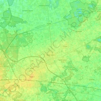
Name: Nederweert topographic map, elevation, terrain.
Location: Nederweert, Limburg, Niederlande (51.23692 5.64400 51.34688 5.87782)
Average elevation: 31 m
Minimum elevation: 21 m
Maximum elevation: 40 m