Geolocate

Seragarh topographic map

Click on the map to display elevation.

About this map

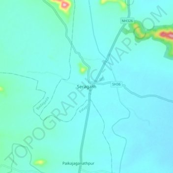
Name: Seragarh topographic map, elevation, terrain.

Location: Seragarh, Seragad, Ganjam District, Odisha, 761106, India (19.47299 84.56394 19.55299 84.64394)

Average elevation: 65 m

Minimum elevation: 41 m

Maximum elevation: 280 m

Gear up for your next adventure:

🧥Thermal Fleece Jacket - Versatile insulation for changing mountain temperatures
🥾Trekking Poles - Adjustable trekking poles to reduce knee stress and improve stability
💡Compact LED Flashlight - Powerful and portable flashlight for outdoor use
🥤Collapsible Travel Cup - Saves space and weight in your mess kit
🦯Trekking Poles - Reduced impact on joints for steep topographic climbs

As an Amazon Associate, this site earns from qualifying purchases at no extra cost to you.