
樟木頭 topographic map
Interactive map
Click on the map to display elevation.
About this map
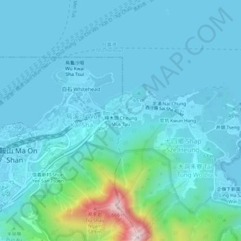
Name: 樟木頭 topographic map, elevation, terrain.
Location: 樟木頭, 樟木頭村, 十四鄉, 西澳村, 大埔區, 新界, 香港, 中国 (22.40845 114.22931 22.44845 114.26931)
Average elevation: 80 m
Minimum elevation: -1 m
Maximum elevation: 658 m