
Darnah topographic map
Interactive map
Click on the map to display elevation.
About this map
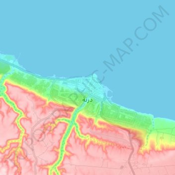
Name: Darnah topographic map, elevation, terrain.
Location: Darnah, Derna, Libya (32.74005 22.55676 32.79145 22.68366)
Average elevation: 87 m
Minimum elevation: -1 m
Maximum elevation: 279 m
Other topographic maps
Click on a map to view its topography, its elevation and its terrain.
Wadi el-Atrun, Latrun
Wadi el-Atrun, Latrun, درنه-سوسه Darnah-Susah, Karsah, Derna, Libya
Average elevation: 49 m