
Thank you for supporting this site ❤️
Make a donation
Make a donation
Gear up for your next adventure:
As an Amazon Associate, this site earns from qualifying purchases at no extra cost to you.
Eigenthal topographic map
Click on the map to display elevation.
Thank you for supporting this site ❤️
Make a donation
Make a donation
Gear up for your next adventure:
As an Amazon Associate, this site earns from qualifying purchases at no extra cost to you.
About this map
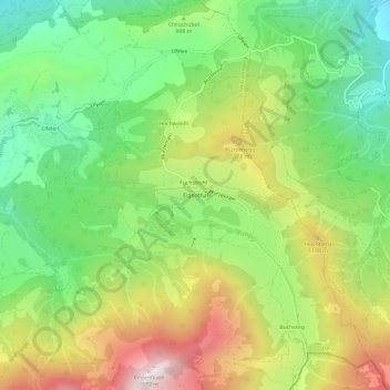
Name: Eigenthal topographic map, elevation, terrain.
Location: Eigenthal, Schwarzenberg, Luzern, 6013, Schweiz (46.98883 8.19122 47.02883 8.23122)
Average elevation: 991 m
Minimum elevation: 603 m
Maximum elevation: 1,548 m
Thank you for supporting this site ❤️
Make a donation
Make a donation
Gear up for your next adventure:
As an Amazon Associate, this site earns from qualifying purchases at no extra cost to you.