
St. Johann topographic map
Interactive map
Click on the map to display elevation.
About this map
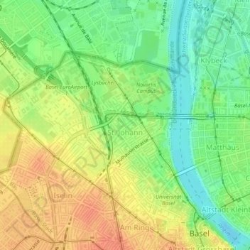
Name: St. Johann topographic map, elevation, terrain.
Location: St. Johann, Basilea, Basilea-Ciudad, Suiza (47.56192 7.55703 47.57766 7.58376)
Average elevation: 265 m
Minimum elevation: 243 m
Maximum elevation: 285 m